Conventional testing can underestimate a student’s learning ability. Sociocultural barriers, test anxiety and differences in rates of brain development can skew results. In principle, neuroscience tools that allow observation of brain activity might better characterize learning gains. But neuroscience and education have not always formed fruitful partnerships.
New research that more profitably pairs the two fields suggests that when students use spatial skills in the classroom, the benefits extend beyond spatial understanding to other kinds of thinking, such as mentally deciphering a problem using words. The results, published on August 10 in Science Advances, also show that neuroscience tools in a real-world classroom might predict successful learning better than more traditional approaches, such as testing and grades. This information could support programs and methods that offer the biggest learning bang for the buck.
Neuroscience research usually requires considerable up-front investments without knowing exactly what the societal benefits will be, says Markus Knauff, chair of experimental psychology and cognitive science at the University of Giessen in Germany, who was not involved in the work. These results, he says, show just how important such research can be for real-world use when a study is carefully constructed to address a “distinctly important applied question with high societal relevance, namely how to improve learning in schools.”
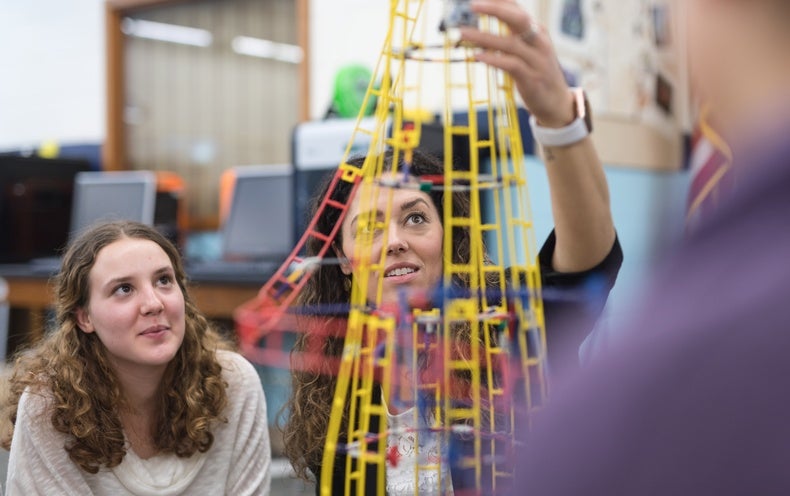
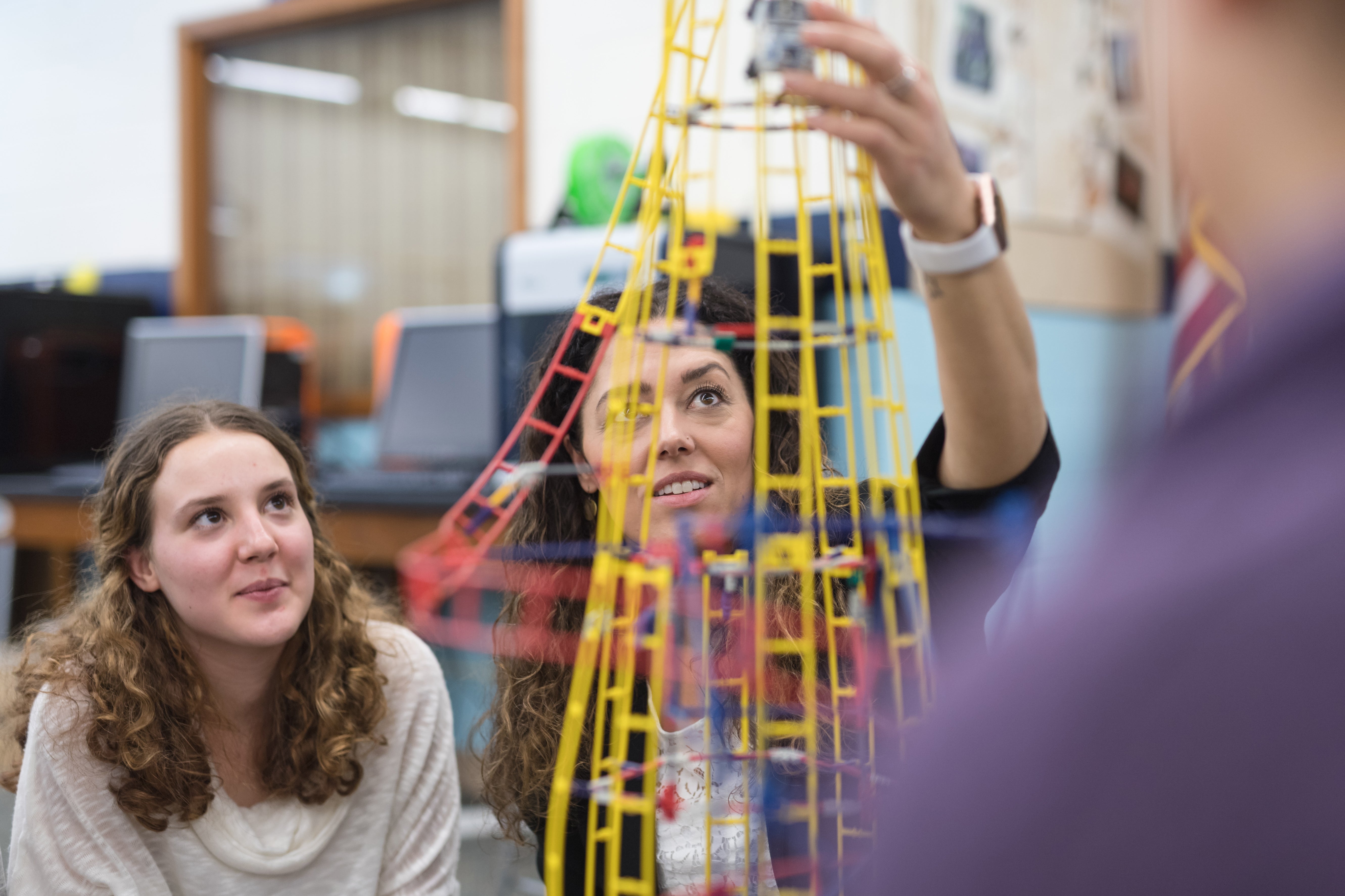
Neuroscientists, psychologists and education experts worked together in the new study to introduce neuroscience tools and a spatially based curriculum that required working with mapping tools into five high schools in Virginia.
Because it’s unethical to shoehorn students into classes they don’t want to take—for research, anyway—the investigators took a different tactic. Students had the option to take a “Geospatial Semester” course in which they built and assessed geography-based data sets using digital resources. The researchers matched students who chose the geospatial course to peers who selected a different but equally challenging science course, creating two groups that were as similar as possible. In this way, the major difference between the groups was which course they had elected.
For the geospatial class, the students worked on map-based solutions to problems such as how to reduce heat islands in urban settings or locate bears wandering out of the Blue Ridge Mountains. In building maps as part of their problem-solving, the students had to “get a global sense of how things relate to each other,” says study author Adam Green, an associate professor of psychology at Georgetown University.
Before beginning their classes, the students completed a series of tests that measured spatial skills and verbal reasoning ability, solving problems presented in words. A verbal problem, for example, might put forward a pair of statements, with the first saying that “the ape is better than the cat” and the second asserting that “the dog is worse than the cat,” which would call for the logical reasoning that “the ape is better than the dog.”
A key test in the study was of “spatial scanning,” the ability to situate features from one map onto another. The test of this skill was the “embedded figure task,” in which test takers viewed a geometric shape alone and then had a few seconds to locate it embedded in second image of layered geometric shapes.
The researchers hypothesized that students who took the spatial skills course might show improvements in verbal thinking as well. They based this prediction on a concept known as the “mental model theory,” which posits that human verbal reasoning abilities arose from brain areas that primates use for understanding their spatial environment.
“From an evolutionary standpoint, as humans developed, we needed brain regions dedicated to spatial and motor processing to get around the world,” says the study’s first author Robert Cortes, a doctoral candidate at Georgetown University. “When we developed the ability to reason, we didn’t grow a new area of the brain but co-opted existing resources to solve problems that aren’t even spatial.”
Cortes and his colleagues figured that if the students got better with their spatial understanding, this overlap in the brain could mean an improved verbal performance, too. One of the tests also assessed how much students relied on spatial strategies in their thinking and learning.
After the 346 students in the study completed their classes, they took these tests again, and researchers compared the results from before and after. For a subset of 63 students, the investigators also used brain imaging to track activity during both testing periods, with a focus on the brain regions linked to spatial thinking. They then compared how well imaging predicted improvement on the spatial and verbal reasoning tests with how well traditional performance-based tests captured it.
The students in the geospatial class started out with lower reasoning and similar spatial thinking scores to their counterparts in the other class. But after the geospatial course ended, the students in that group had improved significantly more than their peers on most of the measures.
The most intriguing result for the researchers supported the mental model theory: these students’ improvements in verbal reasoning tracked with their improvements on the spatial tests, which suggests that where spatial thinking sharpened, so did verbal reasoning.
The brain imaging showed changes in activity for regions linked to spatial reasoning in primates, with steeper increases among students who had completed the geospatial class, compared with their peers. These imaging patterns proved far better than conventional measures, such as tests and grades, at predicting how much students would improve on the study measures.
The mental model theory has a history that goes back decades, and these findings underscore its power, Knauff says. They “show again how important space is for our mind, even for abilities that are not spatial per se,” he adds.
Cortes, Green and their colleagues are on deck to introduce the geospatial curriculum into more schools. The course “teaches a really useful skill,” and its general approaches could be integrated into other science classes, Cortes says. “It’s a cool course I wish I could have taken in high school.”
The findings offer a potential warning about what humans risk by dispensing with spatial learning experiences and relying instead on a smartphone navigator to get from point A to point B. Green recently lost a signal in a rural area while on a family vacation and found himself explaining paper maps and navigation methods to his children.
Despite folding challenges, having a whole paper map to view and remember meant accessing a “spatial understanding of where you were going,” he says, rather than relying on close-ups of a route on a map app. The students in the study had to develop a similar version of the “whole map” scanning skill, and the findings, Green says, “make a class like that and a spatial approach to education in general more timely and more important.”


